VFR Flying in Greenland
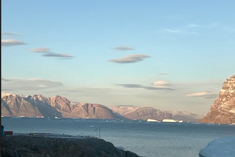
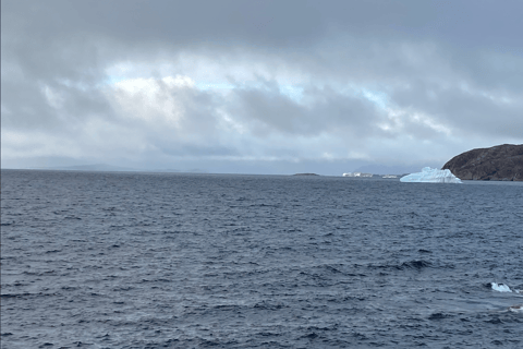
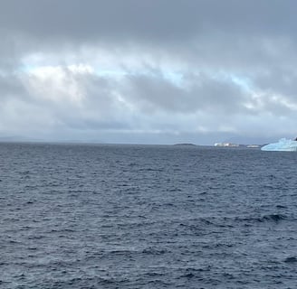
©PamelaGL. Heading to South to Nuuk from Upernavik just passing Southern Upernavik
Flying VFR in Greenland - it is not that straightforward.
Helicopters, except SAR (Search and Rescue), Fly VFR in Greenland. (Image above is open water by Upernavik settlement)
In basic terms, the pilot can fly VFR or fly with Instrument Flight Rules (IFR) for which allows the properly equipped aircraft to be flown in conditions less than the minima specified in terms of visibility, distance from cloud, and ceiling. The difficulty is going in and out of these flight rules. Going from IFR to VFR requires skills, proficiency, and a lot of experience. When it is marginal VFR, and the weather is deteriorating, the VFR pilot, if not instrument-rated in an aircraft not equipped nor certified for IFR, must make quick decisions. The VFR pilot must not get into clouds, or reduced visibility with no reference to what is ahead or below. The Air Greenland Helicopter Fleet, except the H225 SAR machine, fly under VFR in Greenland.
In this regard, VFR pilots do not always have an easy decision-making process. What’s crucial is that the VFR pilot must make sure the weather is flyable from take-off to landing.
In Greenland, flights between settlements require VFR all the way from taking off at the hangar to landing at the settlement, and back and forth multiple times throughout the entire day. In some cases, the question is: Can the alternate also be flown VFR?
Underpinning, Will the weather stay flyable all the way?
One of the ways to go about this weather decision is to see the bigger picture which is to also see the details in the local weather system. There are signs that pilots know. For instance, sea ice in the fjord creates stability, early morning ground fog most likely will burn off from the sun, and when there are strong katabatic winds blowing from the inland ice, it is a No Go.
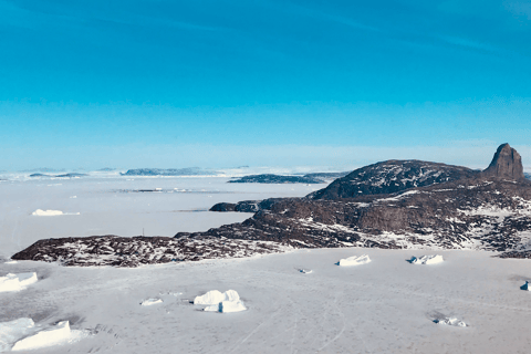
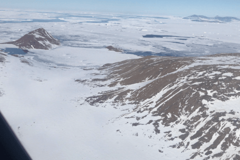
There are a few more details when flying weather in Greenland that need further explanation. Pilots need to know more beyond the weather reports to see the bigger picture. (Image above Uummannaq Heliport)
The METAR and TAF do give pilots the actuals. METARs and TAFs are only available for airports, not heliports. However, pilots know these reports are limited particularly when the METAR and TAF cover an approximate radius within 5 NM of the aerodrome reference point.
There are two aerodromes where the distance between the airport and where the helicopter sits is not within the TAF coverage and METAR report, Kulusuk, KUS and Qaarsut, JQA. The distance between Kulusk and Tasiilaq is 12NM. Between Qaarsut and Uummannaq is also 12NM.
In Greenland, the distance between the airports are a great distance apart. An upcoming post, gives perspective from the DMI, Danish Meteorological Institute in Nuuk on the weather stations for the size of Greenland.
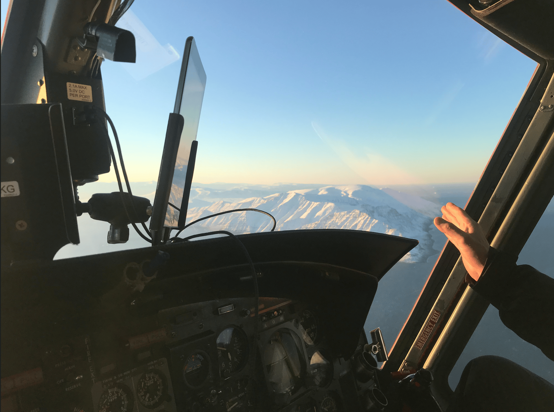
From the 'old flying cowboys' who flew the B212 to the current helicopter H155, pilots are not easily convinced when they get the weather reports.
That said, knowledge of the local weather system tells them to get the bigger weather picture. (Image below of Kullorsuaq settlement, Upernavik district)
True, the weather data from the airports may give a pretty okay overview but not the ‘local knowledge’ that comes from experience, which may make the decision to fly easier.
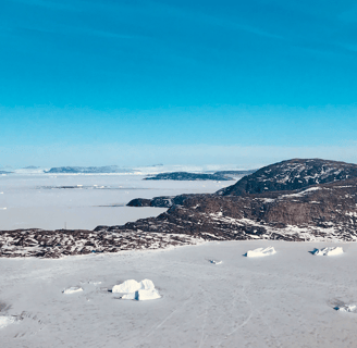
In light of this, further journal posts continue to look into the subtle weather details of the local systems and perhaps, reinforce that the experience of the ‘old flying cowboys’ in their weather knowledge will get the pilot out of a serious situation! (Image below is of the passage towards Kullorsuaq from Upernavik, route distance approximate 109NM)